Why Michigan Outdoor Cannabis Is Still Going in Late October 2026
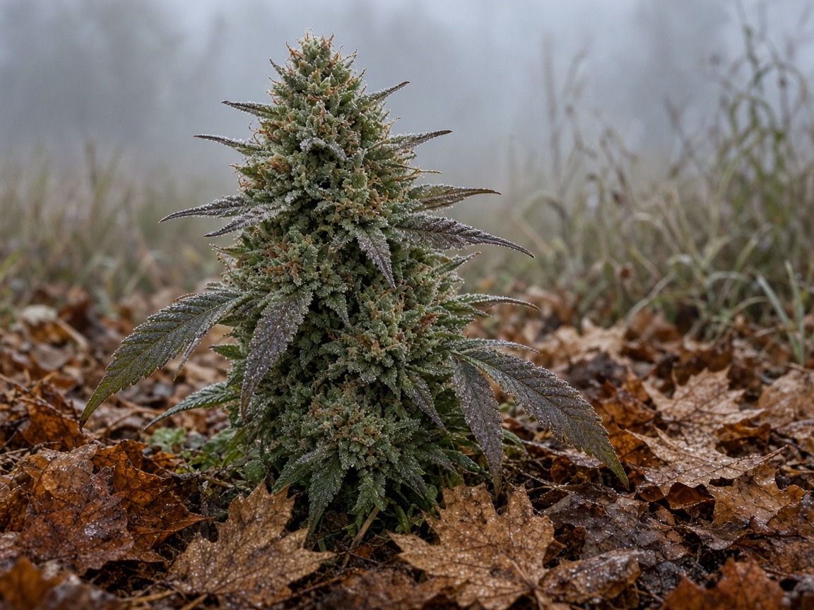
Plants are still outside in late October. Detroit's week runs from a 44-degree night to 75 on Thursday, and that split feeds mold and frost on one crop.
Questions this article answers
- Why are outdoor cannabis plants still unfinished in Michigan at the end of October 2026?
- What does a swing from the 40s to the 70s do to mold and frost on outdoor cannabis?
- Will Detroit freeze this week if outdoor plants are still out?
- Does a 75 degree day increase bud rot on outdoor flower?

Head Cultivator
On this page
There are still cannabis plants standing outside in Michigan, and this week can't pick a temperature.
Detroit drops to 44 tonight, then climbs to 75 on Thursday. Today's high there is 67. A damp night and a warm afternoon can land on the same flowers. Mold likes the warm, wet hours. Frost is the cold-morning question, and up north it gets sharper.
I check the airport sheet before I trust a porch thermometer. This page is the weather window for the last week of October. It says nothing about what any farm has in the field, Divine Toke included.
Why Are Outdoor Plants Still Unfinished in Late October? #
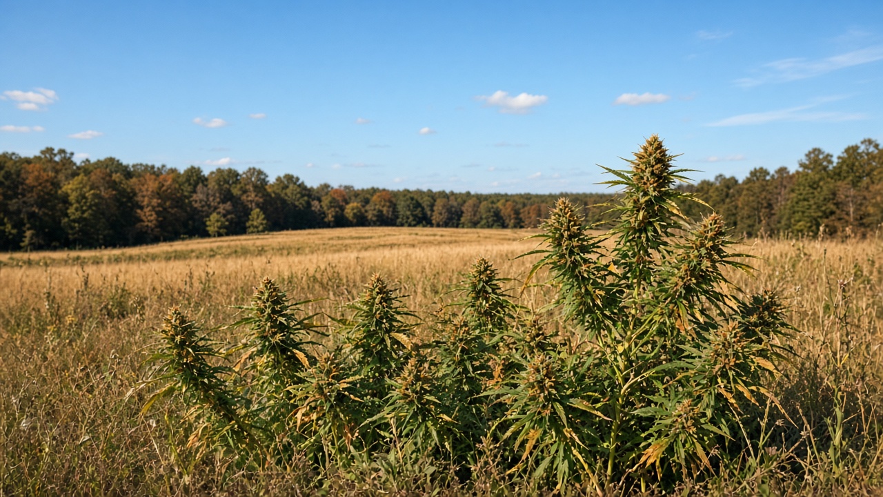
Some outdoor plants are still unfinished because bloom takes weeks, and Detroit has stayed above 32.
Cannabis flowers when the nights get long enough. Growers call that a short-day plant. A 2023 growth-chamber study (PMC10386198) grew ten drug-type cultivars under light periods from 12 hours up to 15. Every cultivar started flower under light periods up to 14 hours. A few started under 15 hours, and those flowers didn't keep developing.
That work happened indoors, under lamps. It tells you when flower can start. A Michigan field runs on its own calendar.
The season post has the outdoor clock, the median frost dates, and the hoop-house types. It describes a long bloom. A plant that started flower in August can still be green in this last week of October.
Weather is the other half. A plant keeps standing as long as the nights stay above a hard freeze. My forecast point is Detroit City Airport, the Coleman Young field.
The federal daily file for that airport runs through October 22. The coldest low in it is 38 degrees, on October 17. October 18 was 39. No day in that file hits 32. Here's NOAA's daily summaries for Detroit City Airport.
The city's week stays in that same lane. The afternoon grid bottoms out at 44 tonight, then the nights run through the upper 40s and 50s. Thursday reaches 75. A grower with green flowers still has a warm stretch ahead. If the flowers stay wet inside, that's a mold stretch too.
Up north, the month already went colder. The Gaylord climate sheet hit 27 on October 17. Same state, different night. Plants can be done in one county and still standing in another.
| Reason a plant can still be out | What the records show |
|---|---|
| Bloom is a multi-week job after nights get long | Indoor study: initiation held through 14-hour days |
| City nights have stayed above freezing | Airport floor is 38 through October 22 |
| The week ahead stays mild in the city | Tonight 44, Thursday high 75 |
| Northern sites already froze harder | Gaylord sheet: 27 on October 17 |
What Does Detroit's Forecast Show Through Sunday? #
From Monday afternoon through Sunday, the city grid runs from a 44-degree night up to a 75-degree Thursday.
These rows are the NWS Detroit grid for the Coleman Young point. The grid was generated at 12:50 p.m. EDT on October 26, 2026. The public page is the Detroit forecast map. Open it beside the grid if you want the office wording.
The overnight low is the low that follows that day's high. Monday's 44 is Monday night, so it's the city's Tuesday morning number.
| Day | Overnight low | Daytime high | Sky on that same grid |
|---|---|---|---|
| Monday, Oct. 26 | 44 tonight | 67 | Mostly cloudy |
| Tuesday, Oct. 27 | 49 | 62 | Partly sunny |
| Wednesday, Oct. 28 | 52 | 71 | Partly sunny |
| Thursday, Oct. 29 | 55 | 75 | Mostly sunny. Slight rain chance at night |
| Friday, Oct. 30 | 51 | 70 | Partly sunny |
| Saturday, Oct. 31 | 52 | 68 | Partly sunny. Rain chance after 1 a.m. |
| Sunday, Nov. 1 | 50 | 68 | Chance of light rain |
A morning zone forecast, issued at 8:59 a.m. EDT, already had the same shape in words. Wayne County, including the city, was upper 60s today, mid 40s tonight, lower 60s Tuesday, and mid 70s Thursday. That text is the Southeast Michigan zone forecast.
I didn't find a text product stamped 9:13 a.m., so the 8:59 a.m. zone forecast is my morning update. By 12:50 p.m. the grid had nudged a few days up about a degree: Wednesday 71, Thursday 75, Friday 70, Sunday 68. The table follows that later grid.
Ann Arbor is colder tonight than the city point. The Ann Arbor grid, generated in the same hour, has a low of 42 tonight and a high of 63 on Tuesday. Thursday there is 74.
The northern rows are separate forecasts from the same afternoon pull. Gaylord and Alpena show 32 tonight. Traverse City shows 37. That's a freeze signal at two northern stations while the city sits at 44.
| Station | Tonight | Tuesday high | Wednesday high | Thursday | Thursday night |
|---|---|---|---|---|---|
| Gaylord | 32 | 54 | 68 | 63, showers possible | 38 |
| Alpena | 32 | 51 | 67 | 67, showers possible | 38 |
| Traverse City | 37 | 58 | 69 | 64, showers likely | 42 |
Sources for those three rows are the Gaylord forecast, the Alpena forecast, and the Traverse City forecast. Each link is that station's own point forecast.
Thursday is the split to remember. The city is mostly sunny and 75. Gaylord's Thursday is cooler and carries a shower chance. A warm, dry-looking afternoon down here can sit next to a wetter, colder day up north.
Sunday is the city's next plain rain chance: light rain possible, a high near 68, and a night near 50. Saturday night also has a chance of light rain after 1 a.m.
The morning area forecast discussion, issued at 5:58 a.m. EDT, had called the days dry through Thursday and put the next measurable rain on Thursday night into Friday. The afternoon grid keeps a slight rain chance Thursday night and adds Saturday night and Sunday. I'm using the newer grid for the table.
What Did October 2026 Already Do at Night? #
Detroit City had several nights from 38 to 42, Metro hit 35, and Gaylord's sheet hit 27.
A 39-degree night is real at Detroit City Airport. It happened on October 18. Don't use it to describe Gaylord's month, because Gaylord went to 27. Don't use it for the coming city week either, because that week bottoms out at 44.
The federal file ends on October 22. These are the City Airport nights at or under 42 in that file, plus the warmest day so you can see the swing.
| Date | High | Low | Sheet |
|---|---|---|---|
| Oct. 6 | 69 | 41 | NOAA daily, City Airport |
| Oct. 13 | 88 | 65 | NOAA daily, City Airport |
| Oct. 17 | 57 | 38 | NOAA daily, City Airport |
| Oct. 18 | 64 | 39 | NOAA daily, City Airport |
| Oct. 19 | 71 | 40 | NOAA daily, City Airport |
| Oct. 20 | 68 | 40 | NOAA daily, City Airport |
| Oct. 21 | 68 | 41 | NOAA daily, City Airport |
| Oct. 22 | 72 | 40 | NOAA daily, City Airport |
October 23 through 25 weren't in that federal file when I pulled it. The airport's own daily observations, via the Iowa Environmental Mesonet ASOS file for DET, read like this.
| Date | High | Low |
|---|---|---|
| Oct. 23 | 68 | 46 |
| Oct. 24 | 66 | 42 |
| Oct. 25 | 70 | 41 |
So the 39-to-42 band kept showing up after the federal file stopped. October 24 was 42. October 25 was 41. October 23 was 46, which sits above that band.
Detroit Metro Airport ran colder on the sharpest mornings. NOAA's Metro file shows a low of 37 on October 17 and a low of 35 on October 18. I didn't find a 32 at Metro in the days I checked through October 22. Both fields are called "Detroit," and they didn't match.
Thirty-five is in the mid-30s. The NWS frost glossary says frost often shows up with a thermometer reading in the mid-30s, because the ground cools faster than the air at gauge height. I didn't pull wind or cloud cover for that October 18 morning. Metro's air was still in the range where ice on a leaf is plausible.
Gaylord is the northern sheet. The preliminary October climate report for Gaylord came out at 3:30 a.m. EDT on October 26. The station line says Gaylord WFO, with days 1 through 25 filled in. Here are the nights at or under 42, plus the warmest high.
| Date | High | Low |
|---|---|---|
| Oct. 2 | 58 | 41 |
| Oct. 3 | 62 | 37 |
| Oct. 5 | 53 | 36 |
| Oct. 6 | 66 | 35 |
| Oct. 8 | 58 | 41 |
| Oct. 9 | 61 | 42 |
| Oct. 12 | 81 | 54 |
| Oct. 15 | 51 | 41 |
| Oct. 16 | 48 | 35 |
| Oct. 17 | 54 | 27 |
| Oct. 20 | 66 | 42 |
| Oct. 23 | 64 | 40 |
| Oct. 25 | 70 | 49 |
October 12 hit 81 at Gaylord. October 17 hit 27. That's the month's real swing up north. A line like "a few nights were 39 to 42" fits some of Detroit City and misses Gaylord's floor entirely.
October 10 and 11 at Gaylord were 76 as well, so the north wasn't stuck in the 30s. It bounced. The city bounced harder on the warm side: October 13 at City Airport hit 88.
What Does a Night in the 40s Do to Flower Still Outside? #
A night in the 40s can load a flower with moisture, and it can nip a leaf if the surface gets colder than the airport number.
The morning fire-weather forecast is the humidity sheet. The Fire Weather Planning Forecast, issued at 3:53 a.m. EDT, covers a wide zone that includes the city, Ann Arbor, Pontiac, Warren, and Monroe.
For tonight, that zone lists a minimum temperature of 38 to 44. It lists a maximum humidity of 84 to 94 percent. Wind is northeast at 5 to 10 mph. The sky line is partly cloudy.
The Thumb slice of the same product is colder. Bad Axe, Caro, Sandusky, and Lapeer are in a zone with a tonight minimum of 36 to 40. Maximum humidity there is also 84 to 94 percent. The Flint and Saginaw group is 38 to 44. None of those lines is a single porch. They're ranges across counties.
The afternoon hourly grid for the city point is a little less extreme than that zone range. Around 7 a.m. Tuesday it shows about 45 degrees, humidity about 76 percent, a dewpoint near 38, and wind about 7 mph. The period forecast still puts the night's low around 44. I keep both. The zone can hit 38 at its cold edge. The city point I pulled sits near 44 to 45.
Dew is what you get when the air cools to its dewpoint, the temperature where it's holding all the water it can. A National Weather Service dew page says that happens first at the ground, on clear nights with light wind. Cloudy skies and a stronger wind mix warmer, drier air back down.
Tonight's city hourly keeps a gap between the two: air near 45, dewpoint near 38, wind near 7 mph. That's moist air, but it's a weaker dew night than a calm, clear one where the two numbers meet.
Frost is the colder cousin of dew. The glossary says it often forms while the thermometer at standard height is still in the mid-30s. The NWS La Crosse frost page says the air on a leaf can run up to 10 degrees colder than the reading 4 or 5 feet up. Their example is an air temperature of 36 with the surface at 30 or below, when the night is favorable.
That same page cites a local study. Air from 38 to 42 can mean patchy frost. Air from 33 to 37 can mean areas of frost. Air at 32 or below is their widespread frost or freeze bin. The page says the study left out clouds and wind, so read it as a La Crosse guide to how radiational cooling works, where a clear night lets the ground shed heat upward.
Put that next to tonight's city forecast. A low of 44, wind around 7 to 10 mph, and a mostly cloudy sky make a weak ice setup. Ann Arbor at 42 is the top of that patchy band, and its period forecast is mostly cloudy tonight. Clouds hold heat in, which works against a hard radiational cool.
The cold edge of the fire-weather zone is 38, and the Thumb range starts at 36. Those numbers sit in the patchy and area bins from the La Crosse note. A porch in that colder slice can ice while the Coleman Young number stays in the mid-40s.
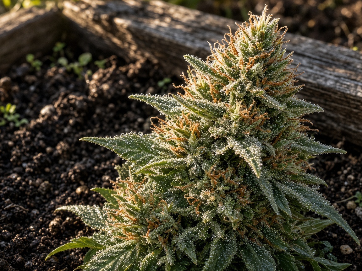
A fat cola, the dense top bud, holds water in the middle even after the outside leaf dries. That's the handoff to mold. The cold night wets the flower, and the warm day decides what that water does next.
Why Does a 75-Degree Thursday Matter for Mold? #
Thursday's 75 sits inside the temperature band where gray mold grows, if the flower is still wet inside.
Gray mold on hemp and cannabis flowers is Botrytis cinerea. The Pacific Northwest handbook, revised March 2026, says cool temperatures between 50 and 80 degrees favor it. They flag 68 as the best temperature for the fungus. High humidity and free water on the plant, meaning liquid sitting on it, favor infection. Rain while buds are maturing can set off a big outbreak.
They also say to avoid keeping plants wet for 12 hours or longer. In a greenhouse they want humidity under 50 percent. An open Michigan field can't hold a greenhouse setting, but the number shows what "dry enough" means to the people who wrote the page.
Thursday in the city is a high near 75, mostly sunny, with a southwest wind. On the hourly grid, the warmest hours fall to about 43 to 49 percent humidity. At 3 p.m. the grid shows 74 degrees and 44 percent humidity. The dewpoint then is about 50.
The afternoon air sits inside the 50-to-80 band and is drier than the overnight air. A loose leaf can dry out in it. A dense flower can hold the night's water in its core.
Here's the path I'm watching. Monday night's zone humidity tops out at 84 to 94 percent, and water sits in the cola. Then Wednesday hits 71, Thursday 75, Friday 70. All three sit in the handbook's band, close to the 68 they call best. If the inside stayed wet through those afternoons, the fungus gets the temperature it likes.
The handbook says the fungus can kill cannabis tissue within a week. Brown, water-soaked spots and gray-brown spore dust are the signs they name. Checking a Michigan jar for that is already written up in the late September bud rot post, so I'm sending you there instead of repeating the photo guide.
Thursday night in the city has a slight chance of rain between 8 p.m. and 2 a.m., with a low around 55. That's a small new wetting on top of any water already in the bud. Gaylord's Thursday looks different. Showers are in the daytime forecast there, with a high near 63 and a night near 38.
Sunday is the clearer city wetting: a chance of light rain, a high near 68, and a night near 50. Sixty-eight is almost the handbook's best temperature, and rain is free water. Flowers still outside on Sunday are facing a mold day, plain and simple.
| Time | City temperature | Water story |
|---|---|---|
| Monday night | Low around 44 | Zone humidity listed at 84 to 94 percent |
| Tuesday morning hourly | About 45, humidity about 76 percent | Moist, with wind near 7 mph |
| Thursday afternoon | High 75, humidity about 43 to 49 percent | Warm, and the air itself looks drier |
| Thursday night | Low around 55 | Slight chance of rain |
| Sunday | High near 68 | Chance of light rain |
A warm afternoon covers the temperature half of the mold risk. On the city grid, the soaking comes from the night humidity and the later rain chances.
Where Is the Freeze Risk on This Same Night? #
Tonight's air-temperature freeze signal is Gaylord at 32 and Alpena at 32. The city is forecast at 44.
Traverse City is 37 tonight. That's above 32 and inside the mid-30s, where the glossary says frost is common. Alpena's Tuesday night low on that same grid is 39. The city's Tuesday night low is 49. A 39 can still show up on the northern forecast after the city has stepped into the upper 40s.
The morning discussion from the Detroit office said lows in the upper 30s for the Tri-Cities and the Thumb, and mid 40s for the metro. That matches the shape of the later grids: upper 30s in the Thumb's fire-weather range, mid 40s at the city point, and 32 at Gaylord and Alpena, which sit outside that Detroit office's map.
Gaylord already met a harder cold this month. The October 17 low on that sheet is 27. The NWS hard-freeze glossary uses 28 degrees or lower, long enough to kill most vegetation. Twenty-seven is on that side of the line. The frost post has the smoke answer.
Purple flower and the THC question are their own subject. The cold-night post covers both, plus the October night climatology, including Flint. I'm leaving the pigment lesson there.
A hoop house takes the edge off a night like this. Plastic can hold a few degrees and keep rain off. It can't change how long the night is. On a 32-degree night, an unheated tunnel is a weak heater. Tunnel types are on the season post. Closing the structure after the cut is covered in the winterize post.
| Place | Tonight's number | What I'd call it |
|---|---|---|
| Detroit point | 44 | Mild night. Watch moisture more than ice |
| Ann Arbor | 42 | Edge of a patchy-frost band, under a cloudy sky |
| Traverse City | 37 | Mid-30s. Frost is plausible |
| Gaylord and Alpena | 32 | Air at freezing on the forecast |
| Gaylord, Oct. 17, observed | 27 | Already at a hard-freeze reading this month |
How Do You Split the Week Between Frost and Mold? #
Use Monday night for the cold check, and use Thursday for the mold check.
Here's how I'd walk the week, in three beats.
- Monday night into Tuesday morning. At the city point, the forecast low is 44 with some wind. Look for wet flowers in the morning. Ice is the smaller bet there. Ann Arbor's low is 42. Gaylord and Alpena are forecast at 32. The frost post is the page for ice in the jar.
- Wednesday through Friday. City highs are 71, 75, and 70. If a cola is still wet in the core, those afternoons sit in the gray-mold temperature band. Thursday's city sky looks mostly sunny. Gaylord's Thursday includes a shower chance and a cooler high.
- Saturday night through Sunday. The city grid brings a chance of light rain. A new wetting on flowers that are still outside starts the clock the handbook cares about. Twelve wet hours is the line they tell growers to avoid.
Under plastic, Thursday is a venting day in the city. A closed tunnel on a 75-degree afternoon holds the moisture the fungus wants. Open the sides, get air moving, let the flowers dry. The winterize post is for after the cut, when you're protecting the building. It's the wrong checklist while green flowers are still in the bay.
The cut is still your call. Cultivar, how far the buds have gone, and the porch you stand on all change it. The forecast gives you the risk. Your plants tell you if it applies.
What Should You Check on a Plant or in a Jar? #
Break one bud. Ice on the outside and a brown core are different problems, and each one already has a page.
On the plant, in the morning, look at the top leaves first. Ice there, with an airport number in the 30s, is a frost question. Take that to the frost post before you decide about the smoke.
If the morning is merely wet, and the afternoon will be in the 70s, look inside a cola. The handbook's signs are brown, water-soaked bud tissue and a gray-brown mass of spores. The September post is the Michigan version of that check, written for the jar and the rain. Use it. A musty smell is a reason to stop.
If you see purple on a leaf in this weather, go to the cold-night post. Read it before you pay extra for color or assume the cold made the flower stronger.
If you're shopping, late October outdoor flower may have lived through this exact month. The city had an 88-degree day and nights in the upper 30s. Gaylord had an 81 and a 27. Ask when it was cut, if the seller knows. Then break a bud in real light anyway. What a lab pass on an earlier day means is the frost post's topic. Storage once you get home is covered in how to store your weed.
| What you see | Where the rest of the answer is |
|---|---|
| Ice, or a bud that saw a hard cold | Frost post, for the smoke question |
| Brown core, musty smell, gray dust | September bud rot post |
| Purple after cold nights | Cold-night post |
| Plastic still on a tunnel after the cut | Winterize post |
| How long the season was supposed to be | Season post, frost dates and tunnel types |
How Long Can a Cola Stay Wet After a 44-Degree Night? #
A single night can cover the handbook's 12-hour wetness line before Thursday's warm air shows up.
The handbook says to avoid keeping plants wet for 12 hours or longer. Monday night into Tuesday morning is about that long. A wet core that never dries can run even longer.
These hours are the city point on the same 12:50 p.m. grid. Dewpoints are rounded from the grid's Celsius values.
| Time | Air | Humidity | Dewpoint |
|---|---|---|---|
| 10 p.m. Monday | 52 | 71 percent | about 43 |
| 1 a.m. Tuesday | 49 | 75 percent | about 42 |
| 4 a.m. Tuesday | 47 | 76 percent | about 40 |
| 7 a.m. Tuesday | 45 | 76 percent | about 38 |
Air and dewpoint stay about 7 to 9 degrees apart through those hours. An open leaf is less likely to drip when the two numbers stay apart, and wind near 7 mph keeps mixing the air.
Count the clock: about 7 p.m. Monday to about 7 a.m. Tuesday is twelve hours. The fire-weather zone lists humidity as high as 84 to 94 percent for that night. A cola that stays damp the whole time has already met the handbook's wetness line, and Thursday's sun is still two days off.
Sunday can start that clock again. The city grid shows a chance of light rain and a high near 68, right on the temperature the handbook flags. Rain is free water on the flowers. Outer leaves can look dry from Thursday and still be at risk if Sunday wets the core.
Gaylord can get its wetting sooner. Thursday there includes a shower chance, a high near 63, and a night near 38. A northern cola can get rained on while the city cola sits in sun near 75. Same date, two different problems.
The morning discussion had the metro in the mid-40s by sunrise, with the Tri-Cities and the Thumb in the upper 30s. The hourly city point bottoms near 45, close to the period low of 44. Use the period low in the table. Use the hourly rows when you want humidity.
A National Weather Service dew page says heavier dew favors light wind and clear sky. Tonight's city hours have a breeze and a sky that runs from mostly cloudy toward morning sun. I'd expect damp air, and less dew on an open leaf than on a calm, clear night.
A dense flower is a different surface. The bracts, the small leaves wrapped around each flower, pack together. Water from a humid night can sit in the cracks after the airport humidity eases. By Thursday afternoon the same grid shows 74 degrees and about 44 percent humidity. The outside air has changed. The inside of the cola may still be wet.
That's the swing in one plant: night moisture first, then a day in the 70s. The fungus gets hours in a wet interior while the air temperature sits between 50 and 80.
Alpena's Tuesday night forecast is 39. The city's Tuesday night forecast is 49. A "39" you remember belongs on the northern map or on City Airport's October 18 sheet. It doesn't fit the city nights still ahead, which start at 44 and step up. Gaylord's observed floor this month is 27. The city airport's observed floor through October 22 is 38.
What Should a Porch Thermometer Change? #
Use the airport for the forecast, and use the leaf if you can see ice.
A porch thermometer sits closer to the ground than the airport gauge. The La Crosse page says that gap can reach about 10 degrees on a clear, calm night. Their example is air at 36 and the surface at 30 or colder. Tonight's city forecast has clouds and wind around 7 to 10 mph. I'd expect a smaller gap than that clear-night example.
The two big airports already disagreed on a sharp morning this month. On October 18, City Airport was 39. The Metro field was 35. Same date, four degrees apart. A backyard between them can land on either number.
A text that says "it was 39" can be true at one field while the other field ran colder. Gaylord's 27 is a third story from the same month. Ask which station. Ask which night. Then look at the leaf in daylight.
A dry leaf and a dry core make Thursday mostly a ripening day. A wet core makes Thursday's 75 useful to the fungus. Breaking a bud open settles which one you have. The forecast only tells you the air around the plant.
Bring a real light when you break the bud. Morning shade hides a brown core, and a dome light in the car is too dim for the check. Wait for a window if you have to.
The same break shows you ice. The frost post covers telling ice from resin. This page only tells you which morning to look.
Bag the sample after you've seen the break. A closed jar can hide the core until you're already home.
| Check | What to hold it against |
|---|---|
| Porch thermometer near 42 | Ann Arbor's forecast low tonight |
| Porch thermometer near 44 | City point forecast tonight |
| Ice on the top leaves | Frost post, then the bud |
| Wet core, warm afternoon coming | Handbook band, 50 to 80 degrees |
| A text about 39 | City Airport on October 18, or Alpena on Tuesday night |
Frequently Asked Questions #
Why can outdoor cannabis still be unfinished this late in Michigan? #
Bloom takes weeks, and the city airport has stayed above 32. A 2023 indoor study (PMC10386198) saw flower start under light periods as long as 14 hours. The season post holds the outdoor clock and the frost dates. Detroit City Airport's coldest low through October 22 is 38, on October 17.
Will Detroit freeze this week? #
The afternoon city grid bottoms at 44 tonight, then the nights run 49 to 55. Thursday's high is 75. Sunday's high is near 68 with a chance of light rain. Gaylord and Alpena are the stations showing 32 tonight. The city row and the northern row are both in the forecast section above.
Did a 39-degree night already happen? #
Yes. Detroit City Airport hit 39 on October 18, and several other nights there were 40 to 42. October 6 was 41. October 19 through 22 were 40 or 41. The later airport file shows 42 on October 24 and 41 on October 25. Those are NOAA daily summaries through the 22nd.
Does 39 degrees mean the flower already froze? #
An air reading of 39 sits above 32. A freeze reading on the thermometer is 32 or lower. Frost can still form on a surface while the official air temperature is in the mid-30s, which is the NWS glossary line. Metro Airport hit 35 on October 18. The coming city night is forecast at 44.
Does a warm Thursday dry out mold? #
A 75-degree afternoon can dry a loose leaf and still leave a wet core. The PNW handbook puts favorable gray-mold weather between 50 and 80 degrees, with 68 as the temperature they flag. Thursday's city high is 75. If the inside of the flower stayed wet from the night, that high is in the band.
Is Thursday humid in the city? #
The warmest hours look fairly dry on the hourly grid. Humidity falls to about 43 to 49 percent while the air is in the low-to-mid 70s. The dewpoint is about 50. The moist number in the stack is overnight. The 3:53 a.m. fire-weather product lists 84 to 94 percent as the zone maximum humidity for tonight.
Can frost form when the airport says 42? #
A local study cited by NWS La Crosse puts patchy frost in the 38-to-42 air range, and that study left out clouds and wind. Ann Arbor's low tonight is 42, with a mostly cloudy sky on the period forecast. The La Crosse frost page also says the surface can run about 10 degrees colder than the gauge on a favorable night. Gaylord at 32 is an air reading at freezing, which is a different bucket.
Do cold nights make the flower stronger? #
Strength and purple color are handled in the cold-night post. That page has the THC finding and the pigment story, plus the October night climatology. Head to the cold-night post for that. Stay here for the mold-and-frost split in the last week of October.
Is flower that saw frost safe to smoke? #
The smoke answer is on the frost post. A brown core means mold. Ice is a separate mark on the outside. The September bud rot post covers spotting that core, and the frost post walks the jar after a freeze.
Should a hoop house stay closed on a 75-degree day? #
Closed plastic on a 75-degree afternoon holds moisture on the flowers. Venting is the mold move while plants are still inside. Tunnel types sit on the season post. Shutting the building down after the cut sits on the winterize post.
What does Sunday's rain chance change? #
Sunday is a new wetting on the city grid, with a chance of light rain and a high near 68. Saturday night also carries a chance of light rain after 1 a.m. Gaylord's shower chance shows up earlier, on Thursday, with a high near 63. The handbook's warning about rainy days during bud maturation is the reason those lines matter.
Closing #
If flowers are still outside this week, the city forecast gives you a mild night, a warm Thursday, and a rain chance by Sunday. The northern forecast gives you 32 at Gaylord and Alpena tonight, on top of a month that already hit 27 at Gaylord. Mold and frost are both in play. They just don't peak on the same morning or at the same airport.
Everything I left out has a home: the season post for frost dates and tunnels, the bud rot post for the brown core, the frost post for the smoke question, the cold-night post for color, and the winterize post for the building once the plants are gone.
If you want sun-grown flower that already made it through a dry and a cure, Divine Toke ships it by mail at divinetoke.org. The pre-rolls are 1 gram. The 20-pack is 20 of those for $120.
This article is for educational purposes only and is not medical advice. Always consult your healthcare provider before starting any new wellness routine.
Grown in Detroit. Shipped to your door.
Small-batch, sun-grown cannabis cultivated in living soil. Mail-order shipping to all 50 states.